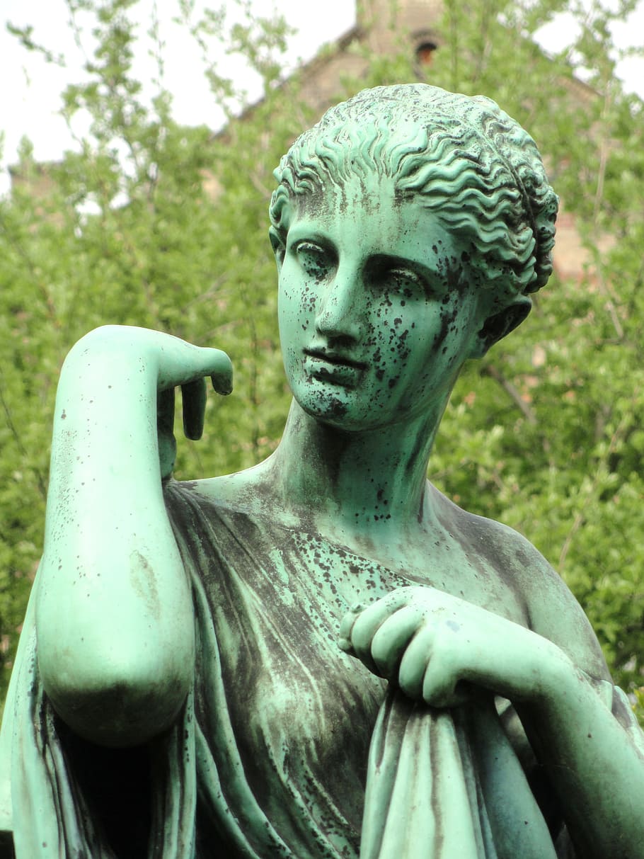
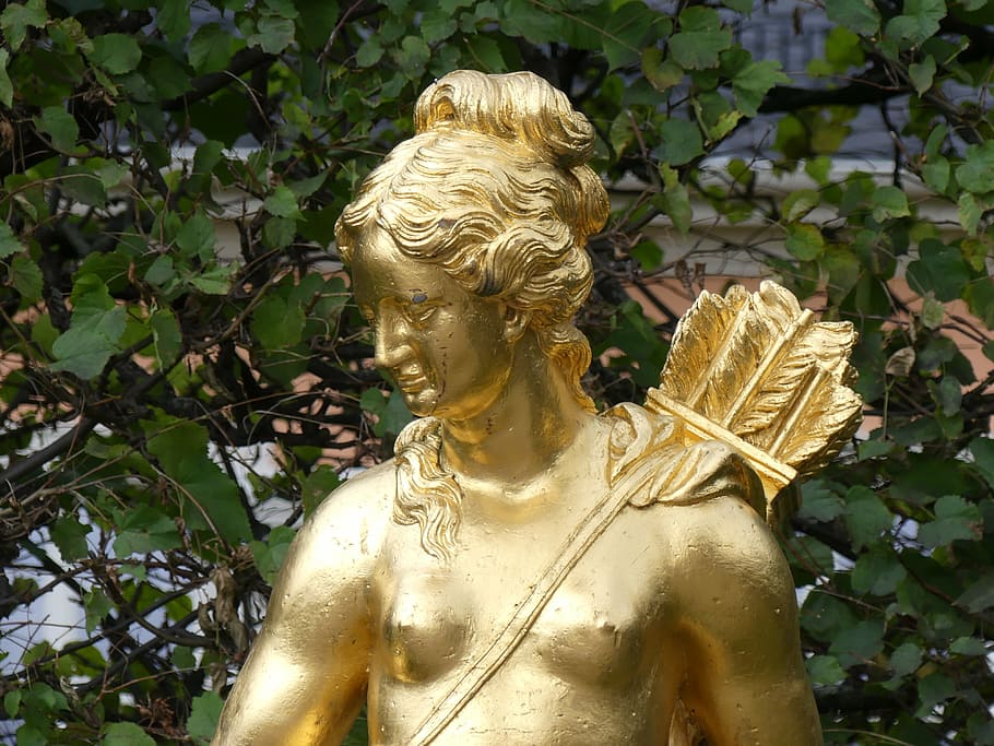
Goddess of springs Arnamentia is said to have formerly been a minor sun goddess.
This ancient deity is mostly unknown.
She who resides next to the holy grove is the literal meaning of her British-born name.
Her name includes the crucial word 'nemeton', which means holy grove.
What we do know was written on stones by the prehistoric
Celtic people.
Arnamentia is a sun deity who represents flowing water,
spiritual healing, and cleansing.
She has control over every body of water, including the biggest seas, lakes, rivers, and streams.
It is stated that she provides regeneration of the mind, body, and spirit in times of gloom or danger.
Some of the characteristics of Goddess Arnamentia include healing, oceans, rivers, and bodies of water, as well as purification.
Arnamentia's sacred colors are green and blue.
Arnamentia is connected to the pagan holidays of Yule, Imbolc, and Samhain.
In the Anglo-Celtic, Romano-Celtic, and British pagan pantheons, she is regarded as a Water Goddess.
Arnamentia, the goddess, is sometimes referred to as Arnemetia.
She is widely regarded as a
Brittonic River Goddess and a river goddess discovered in
England at Buxton Springs.
She was worshipped as a deity in Romano-British religion by the name inscribed as 'Arnemetia'.
At Aquae Arnemetiae ("waters of Arnemetia"), which is now Buxton in Derbyshire, England, she had a shrine.
Celtic roots are ("against, alongside") and nemeton make up the name Arnemetia ("sacred grove").
This interpretation of her name, "she who resides in the holy grove," raises the possibility that Arnemetia may be a heavenly epithet rather than a name in and of itself.
Arnemetiae Aquae, a place named after Goddess Arnamentia.
It is now a town in Derbyshire, England called Buxton.
"Waters of Arnemetia" is what Aquae Arnemetiae implies.
The Romano-British deity of the
holy grove was named Arnemetia (the name Arnemetia was derived from the Celtic for beside the sacred grove).
Around 700 AD, the village was listed as Aquis Arnemeza in the Ravenna Cosmography's list of all known locations worldwide.
The entrance lies between Nauione (the Nauio Roman fort at Brough),
Zerdotalia (the Ardotalia, subsequently known as
Melandra fort, near Glossop), and Mantio, locations with which the town had road links (Manchester).
Aquae Arnemetia's Baths.
There were only two Roman bath cities in Britain:
- Aquae Arnemetiae and
- Aquae Sulis (the present-day town of Bath in Somerset. Refer to Sulis).
At the site of the major thermal spring, the Romans originally constructed a bath. At the hot spring near the
Buxton Old Hall,
Cornelius White ran bathing establishments in the late 17th century.
He unearthed a lead cistern (2 meters square) on an oak wood frame in 1695, together with an old smooth stone bath (20 meters long by 7 meters broad).
A Roman bath was found on the property and was called "a leaden cistern" when the Crescent hotel was constructed there in 1780.
The Natural Mineral Baths building, which was built close to the hotel, presently sits next to the bath, which is now submerged under the Crescent.
Excavations in 2005 uncovered the Roman baths' entrance corridor and entrances close to the location of the main spring.
A wall thought to be the side of a
palaestra (exercise hall) was also found during this building project.
Additional subterranean cisterns as well as a huge iron cauldron were discovered between 2009 and 2012.
A hoard of 232 Roman coins dating from the 300-year duration of the Roman control of Britain was discovered during the 1970s excavation of the main spring.
To win the favor of the Gods, coins would have been thrown into the holy waters.
The Buxton Museum has the coins and the bronze jewelry that were discovered alongside them on display.
A million gallons of water come out of the geothermal spring each day from a depth of around 1 kilometer.
At a constant 27 °C, the mineral water is released.
According to water analysis, which dates back around 5,000 years, the water has a high magnesium level.
On his trip to Wroxeter in 122 AD, Emperor Hadrian stopped at the town (Shrewsbury).
Under the terraced slope of The Slopes, a significant portion of the Roman town wall was discovered in 1787 by Major Hayman Rooke.
Rooke also captured information about the temple's base, which looked over the location of the baths and springs, at the same time.
It contained a shrine chamber that was perched on a rectangular pedestal and had a portico with columns in the front.
On the west side of Buxton's market square, close to Fountain Street, the Roman floor plan of a macellum (covered market with a central atrium) and floor mosaics were recorded in 1860.
At the location of the Bath Gardens, a prehistoric Celtic temple was recorded in 1755 as having an octagonal foundation and a faint inscription that read "Aeona."
It was determined that the temple was devoted to either Apona or the horse deity
Epona (goddess of healing waters).
The 2,000-year-old temple was destroyed when
Edward Milner redesigned the Pavilion Gardens in 1871, leaving just the foundation standing today.
Note that the octagonal building in the Pavilion Gardens is really the ancient bandstand and not Roman in origin.
Several construction platforms, walls, enclosure banks, quern grinding stones, ceramics, animal bones, and jewelry were discovered during excavations in the 1980s.
The pottery is dated to between 100 and 130 AD by the Sepuminus potter's mark.
The farm house featured an underfloor heating system, as shown by a hypocaust tile discovered there.
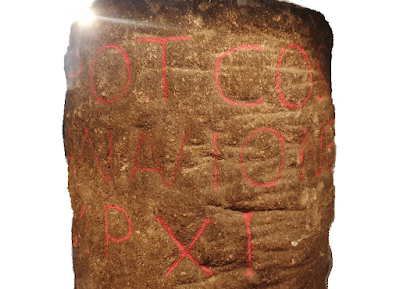
In 1862, a Roman milestone was found in Buxton's Silverlands neighborhood.
It is the earliest engraved landmark discovered in Derbyshire.
The writing reads "TRIB POT COS II P P A NAVIONE M P XI," which translates as "From Navio 11 miles.
With the authority of the tribune, twice consul, father of this land." Near the modern community of Brough lies where the Navio Roman fort once stood.
Roman artifacts were discovered in the Silverlands region in 1903 during excavations by local archaeologist Micah Salt, including a silver coin, tiles, leather sandals, gritstone hearths, glassware, and several shards of exquisite Samian pottery.
According to pottery inscriptions, it was created between 60 and 100 AD in Verulamium (modern St Albans).
The Buxton Museum has the milestone and other Roman artifacts on exhibit.
Additionally, when Buxton's Town Hall was constructed at the northern end of the market place in 1811, a significant number of Roman relics were also found there.
Roman floor slabs were discovered in the basement of 3 Hall Bank near the Town Hall in 2006, while 8A Hall Bank had significant Roman stonework exposed.
In the neighboring Poole's Cavern in 1865, Roman coins and Romano-British copper jewelry were also discovered.
In 1903, a gritstone shrine honoring Arnemetia (Arnomecta) was discovered in the Principia strong chamber of Navio fort (headquarters building).
"To the goddess Arnomecta, Aelius Motio cheerfully, voluntarily, and rightly fulfilled his pledge," reads the inscription on the altar.
The Buxton Museum also has the altar on exhibit.
Batham Gate and The Street, two important Roman thoroughfares, intersected near Aquae Arnemetiae.
A Roman route leads from Templebrough Roman fort in South Yorkshire across Navio Roman fort and towards Buxton.
This ancient Roman road's path on
Tideswell Moor is classified as a Scheduled Monument.
This was a crucial route for getting to the Peak District's lead producing locations.
The Batham Gate road, which leaves Buxton towards the east, is still in existence.
The Street route (Margary Number 71a) left Derventio (Derby) and headed south of Buxton before meeting the contemporary A515 road in certain areas.
The Street is still the name of the route that may have linked Buxton and Condate in the Upper Goyt Valley (
Roman Northwich).
By The Street road, next to Arbor Low, there is a plaque in a stone wall (at OS map location SK 1649 6232).
The Roman route from Buxton to Little Chester (Derby) is shown by the marking "Aquae Armentiae Derventio." "Huius viae curam curatores viarum non susceperunt" is written below.
The literal translation of this is "The road menders have not maintained this road." In the north, there were Roman roads that went to Mamucium (Manchester) and Melandra fort, both close to Glossop (Margary Number 71b).
These two northbound rounds' agger pieces have been located and dug.
Between Buxton and Leek, there was also a Roman Road (Margary Number 713), which may have been the Roman town of Chesterton.
Its path connects to the current A53 road heading into Leek near Morridge Top.
Edward Tristram inferred the potential site of a fort in the town to the south of the market area by the present-day Bath Road in 1916 as a result of the roads' junction at Aquae Armetiae.
The entrance to the bigger fort of Melandra, northwest from Navio Fort, was guarded.
The substantial Centurial stone with inscriptions that was discovered at Navio in 1903 was part of the fort's reconstruction in 154 BC by invading troops from southwest France.
The Buxton Museum has the Centurial Stone on exhibit.
Buxton is still identified on OS maps by its Roman name, Aquae Arnemetiae.


